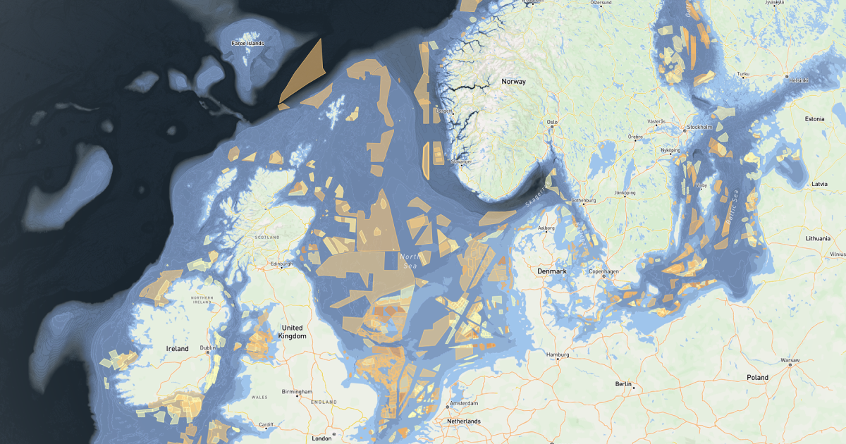
Screening, GIS, yield, layout, financials and the visuals you put in front of landowners, all in one platform. Small and mid-size developers use Vind AI to do work in-house that used to take several licences and paid analysis. Plus, you get answers in minutes instead of waiting on someone else.


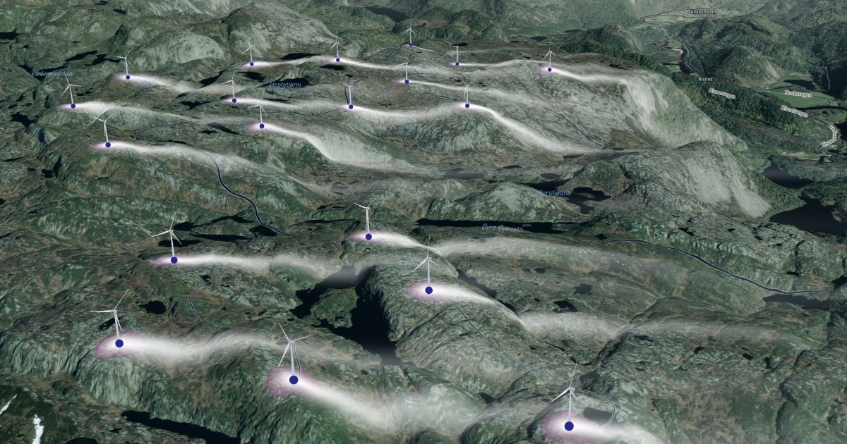
In a small development team, the person who screens the site is often the same person who pulls the GIS layers, runs the yield analysis, builds the financial model and prepares what goes in front of a landowner.
Most tools in this industry were built for specialists, one discipline at a time. Covering the whole project has meant learning several tools, or bringing in outside support for the parts you can't do yourself.
Vind AI works as one workspace instead, so the full sequence from first look to investment decision sits in one place, and one person can carry a project a long way on their own.
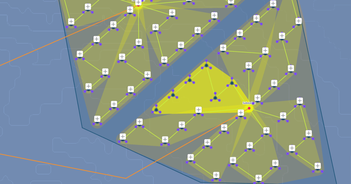
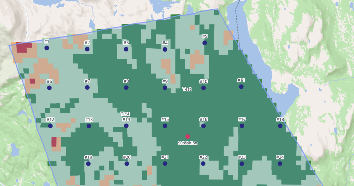
For most small and mid-size developers, Vind AI replaces the separate GIS package, the yield tool, the spreadsheet model and the visualisation software. Everything runs off the same project data, so a change to the layout updates the yield, the financials and the visuals at the same time.
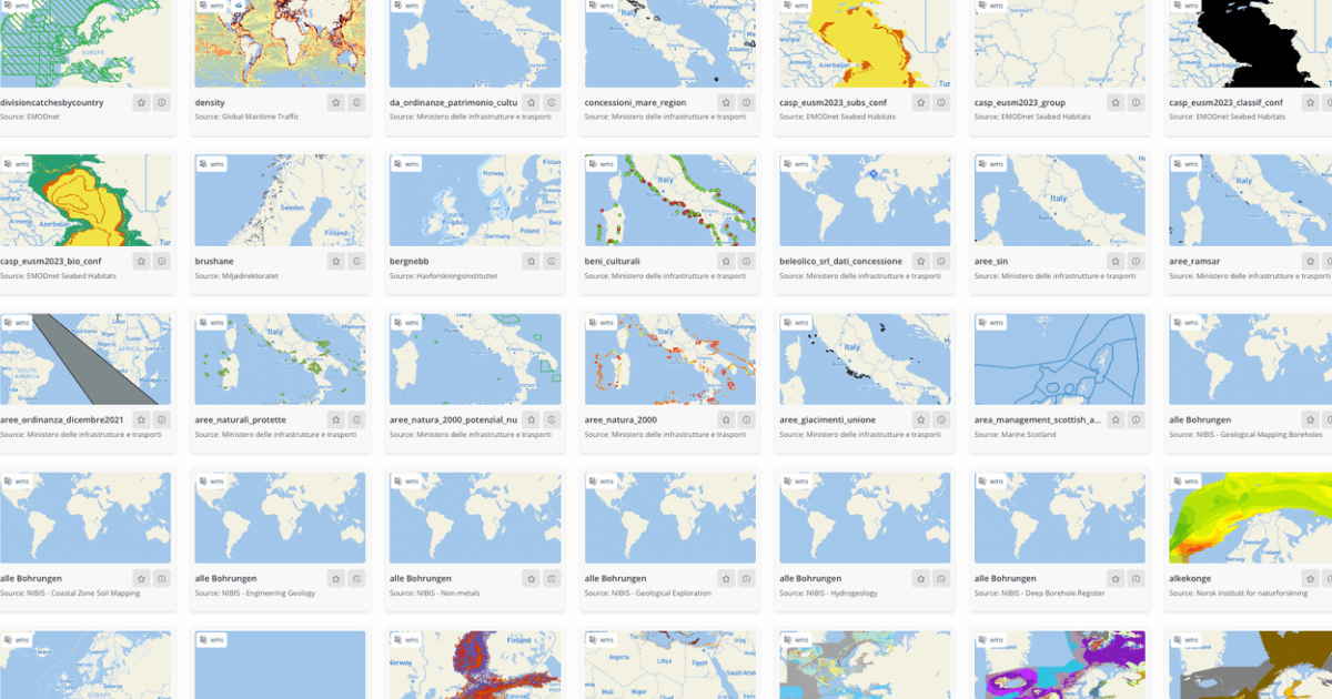
If you already have GIS data, your own wind measurements or layers you've built up over years, come with you. Vind AI connects directly to external geospatial sources and supports standard formats, so you don't have to rebuild what you've already built.

Most teams begin with a single site and run their own screening and yield within days. The platform is built to be picked up quickly rather than studied.


.png)