When Gillies Munro joined Eneco to lead their UK onshore wind team at the end of 2025, one of the first things he did was get started with Vind AI. He'd been using the platform at his previous company and knew from experience that it was what he needed to work efficiently. Getting Eneco set up using Vind AI was a priority from day one.
"I knew what was possible, and I didn't want to start from scratch with a fragmented set of tools," says Gillies Munro, Wind Development Manager UK at Eneco. "Bringing Vind AI onboard was one of the first things I did when I joined, and it meant we could get up to speed on our projects much faster."
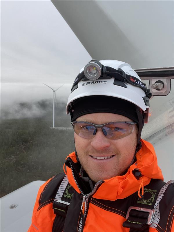
One of the more distinctive ways Eneco's UK team uses Vind AI is for assets that are already built and running. The team has modelled all of its operational UK wind farms in the platform, not as a development exercise, but as a practical working tool.
The 3D environment makes it easy to take accurate spatial measurements on existing sites, something the team uses for practical tasks like planning road resurfacing. Having an accurate, up-to-date model of each site also means that when questions arise about the layout, infrastructure, or surroundings, the answer is already there in the platform rather than requiring a site visit or a dig through older files.
"We use it almost like a digital twin for our existing farms. It's a live model of the site that anyone on the team can pull up, interrogate, and work from. That's surprisingly useful even for assets that are already in operation."
—Gillies Munro, Wind Development Manager UK, Eneco
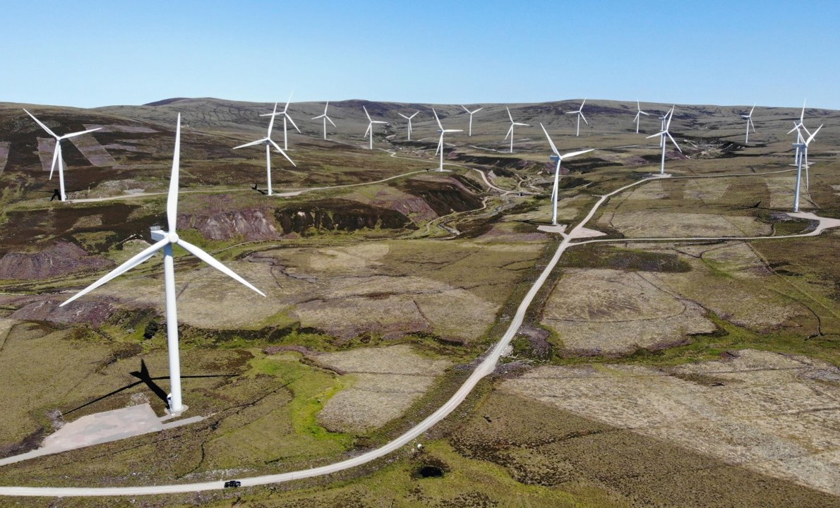
A significant part of onshore wind development is communicative, not technical. Munro regularly meets with local communities, businesses, and stakeholders — and what those audiences want to know, above all, is how a wind farm will look and feel from where they live and work.
Vind AI's visualisation capabilities have become central to those conversations. The platform's 3D views now include realistic landscape elements like trees and terrain detail, making it straightforward to show a proposed wind farm as it would actually appear in the landscape, rather than as a simplified diagram.
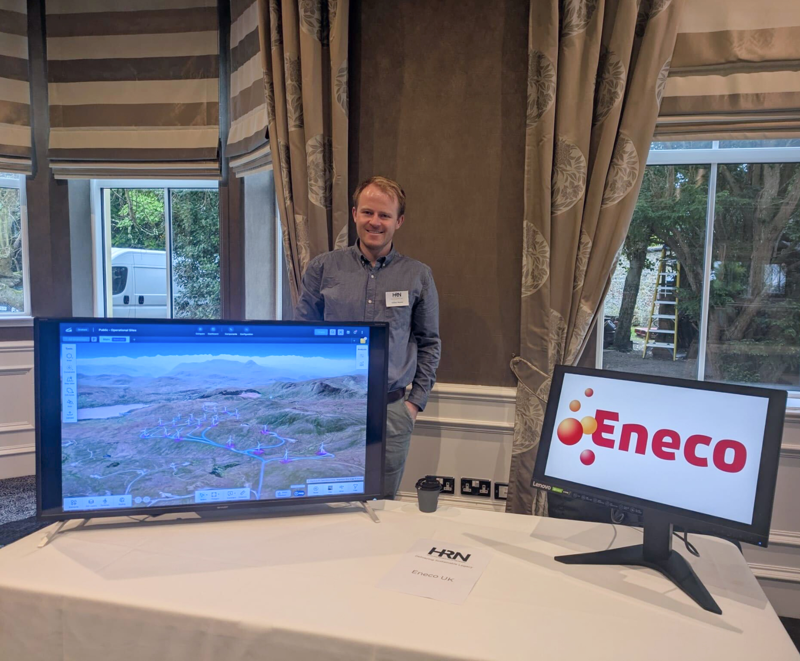
"Seeing the parks in 3D, in the actual landscape, has been so important. We've brought Vind AI to events with local businesses working in renewables, showing people quickly where the farm is and what it looks like. It makes the conversation much easier."
—Gillies Munro, Wind Development Manager UK, Eneco
Munro notes that Vind AI's visualisation capabilities have developed significantly over the years he has been using the platform. Improvements in 3D rendering, landscape detail, and photomontage functionality have made it substantially more useful for community engagement work — and that trajectory has continued.
Beyond visualisation, what Munro values most is having GIS, layout design, and yield analysis, and more, all feeding into each other in the same live platform. In a fragmented tool stack, changing a turbine layout means manually updating inputs across several different systems. In Vind AI, a layout change flows through to the yield estimate immediately.
"The real-time connection between where you place a turbine and what it produces is what makes this tool genuinely useful for decision-making," says Munro. "You're not guessing at the trade-offs — you can see them."
That integration also makes it easier to bring different parts of the team into the same conversation. GIS work, technical layout decisions, and yield analysis no longer live in separate tools with separate outputs. They all sit in one project, accessible to everyone working on it.
Who: Eneco's UK onshore wind team, led by Gillies Munro, Wind Development Manager UK. Eneco is one of Europe's leading energy companies, committed to becoming climate neutral by 2035.
How Eneco uses Vind AI:



When Gillies Munro joined Eneco to lead their UK onshore wind team at the end of 2025, one of the first things he did was get started with Vind AI. He'd been using the platform at his previous company and knew from experience that it was what he needed to work efficiently. Getting Eneco set up using Vind AI was a priority from day one.
"I knew what was possible, and I didn't want to start from scratch with a fragmented set of tools," says Gillies Munro, Wind Development Manager UK at Eneco. "Bringing Vind AI onboard was one of the first things I did when I joined, and it meant we could get up to speed on our projects much faster."
One of the more distinctive ways Eneco's UK team uses Vind AI is for assets that are already built and running. The team has modelled all of its operational UK wind farms in the platform, not as a development exercise, but as a practical working tool.
The 3D environment makes it easy to take accurate spatial measurements on existing sites, something the team uses for practical tasks like planning road resurfacing. Having an accurate, up-to-date model of each site also means that when questions arise about the layout, infrastructure, or surroundings, the answer is already there in the platform rather than requiring a site visit or a dig through older files.
"We use it almost like a digital twin for our existing farms. It's a live model of the site that anyone on the team can pull up, interrogate, and work from. That's surprisingly useful even for assets that are already in operation."
—Gillies Munro, Wind Development Manager UK, Eneco
A significant part of onshore wind development is communicative, not technical. Munro regularly meets with local communities, businesses, and stakeholders — and what those audiences want to know, above all, is how a wind farm will look and feel from where they live and work.
Vind AI's visualisation capabilities have become central to those conversations. The platform's 3D views now include realistic landscape elements like trees and terrain detail, making it straightforward to show a proposed wind farm as it would actually appear in the landscape, rather than as a simplified diagram.
"Seeing the parks in 3D, in the actual landscape, has been so important. We've brought Vind AI to events with local businesses working in renewables, showing people quickly where the farm is and what it looks like. It makes the conversation much easier."
—Gillies Munro, Wind Development Manager UK, Eneco
Munro notes that Vind AI's visualisation capabilities have developed significantly over the years he has been using the platform. Improvements in 3D rendering, landscape detail, and photomontage functionality have made it substantially more useful for community engagement work — and that trajectory has continued.
Beyond visualisation, what Munro values most is having GIS, layout design, and yield analysis, and more, all feeding into each other in the same live platform. In a fragmented tool stack, changing a turbine layout means manually updating inputs across several different systems. In Vind AI, a layout change flows through to the yield estimate immediately.
"The real-time connection between where you place a turbine and what it produces is what makes this tool genuinely useful for decision-making," says Munro. "You're not guessing at the trade-offs — you can see them."
That integration also makes it easier to bring different parts of the team into the same conversation. GIS work, technical layout decisions, and yield analysis no longer live in separate tools with separate outputs. They all sit in one project, accessible to everyone working on it.
Who: Eneco's UK onshore wind team, led by Gillies Munro, Wind Development Manager UK. Eneco is one of Europe's leading energy companies, committed to becoming climate neutral by 2035.
How Eneco uses Vind AI:
To get the newest product updates, case stories and news releases, sign up for our monthly newsletter.
Please reach out if you are interested in seeing a demo, asking a question or sharing feedback.


.svg)