
.png)

Join us for a webinar exploring how you can seamlessly integrate 4C Offshore’s industry-leading GIS Spatial Data directly into Vind AI’s wind project design platform.
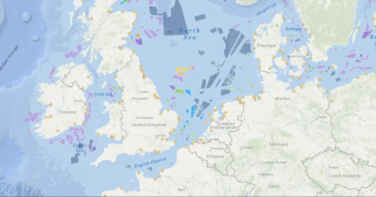
This session will showcase how professionals with a GIS Spatial Data Subscription can stream 4C’s rich geospatial data — such as turbine positions, wind farm boundaries, cable routes, and platform locations — directly into Vind AI for real-time use in project modelling and optimisation.
Whether you are in project development, engineering, or strategy, this integration enables faster, more accurate decision-making powered by the most trusted data in the offshore wind sector.
What you will learn:
This webinar is ideal for developers, analysts, GIS teams, and project engineers looking to streamline wind farm design workflows with real-time data integration.
Note: If you’re unable to attend the webinar live, we encourage you to register anyway, you’ll receive access to watch it on demand at your convenience


